
Photos of the implementation of the Geological Research Program - Paks 2 EN
Photos of the implementation of the Geological Research Program

The goal of the site investigation and evaluation is to identify those – natural and resulting from human activities – circumstances and hazards, which must be taken into consideration during the construction and operation of the new power plant units, then these must be characterized for the design of the power plant and certified for the security.
One of the main tasks of the Geological Research Program – which is done under the site investigation and evaluation – is to build and operate that monitoring network which can perceive even the slightest earthquakes.
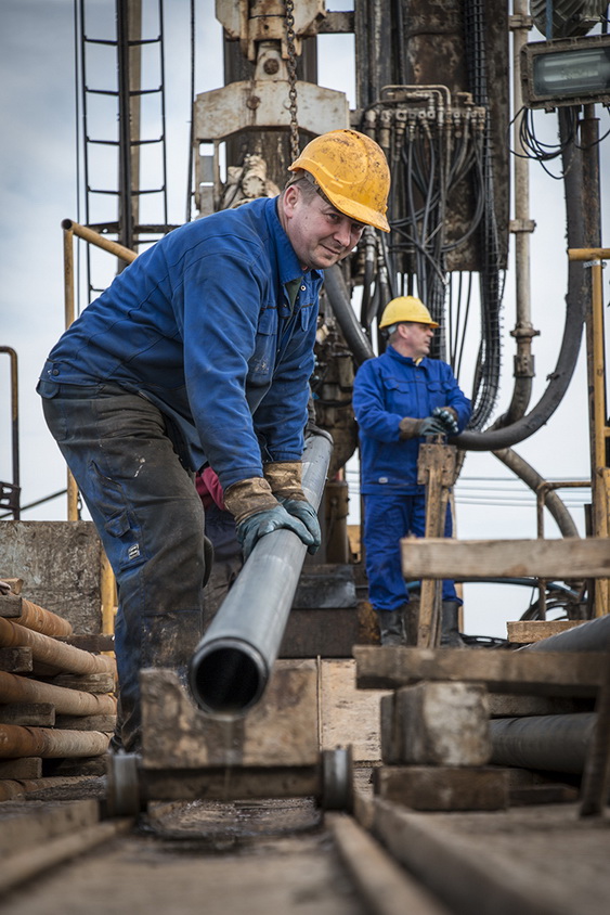
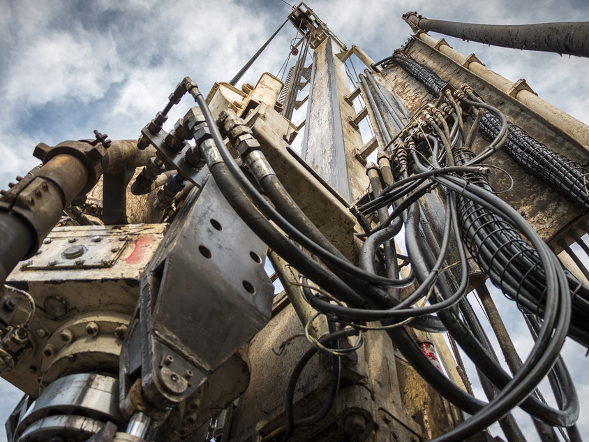
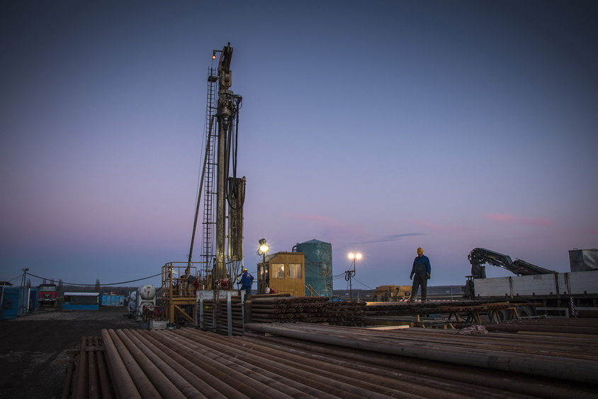
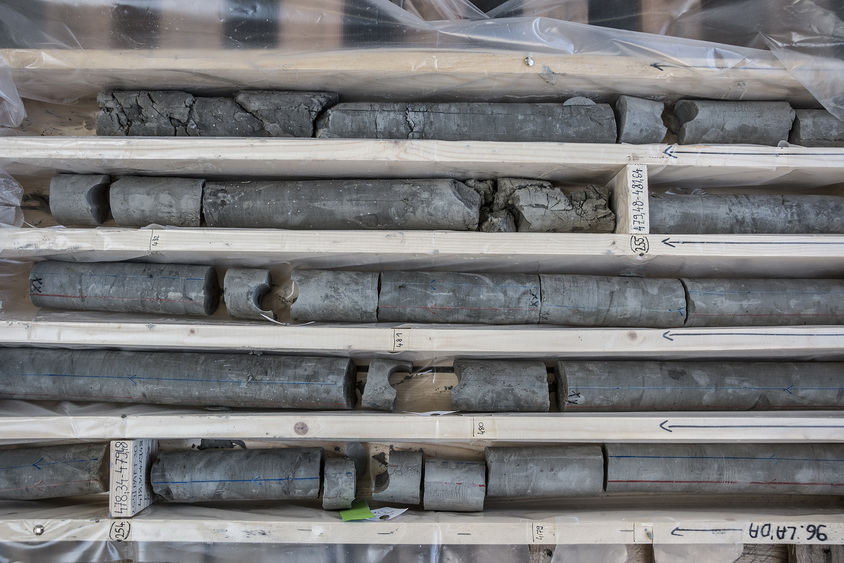
The most spectacular part of the GSP must be the so-called deep-drilling. During the boring the earth crust and the composition of its rocks are investigated. The major phases of the deep drillings around the site of the nuclear power plant can be seen on the photos below.
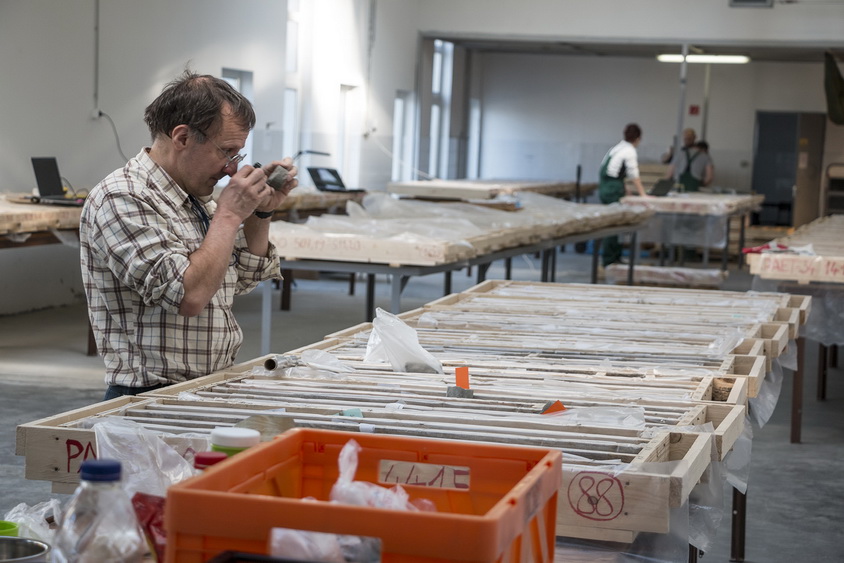
Photos: MVM Paks II. Ltd., Tamás Nagy